I haven’t been feeling that great lately for a multitude of reasons I won’t get into. It all boils down to having a whole bunch of free time all of a sudden with nothing for my brain and hands to do. Without the routine and structure that my classes provided, I reverted to bad habits like spending way too much time online and just overall neglecting my own sanity by trying to whittle away the hours by doing nothing of substance.
This morning I was at my ropes end. Lying in bed and wanting to sleep all day, but I knew that wasn’t a good decision. Without giving myself the time to overthink it, I went onto the Ontario Parks website and reserved a pass for the Forks of the Credit Provincial Park, tying my hands with 20 bucks I won’t get back as to force myself up and at ’em. I had been wanting to go anyway.
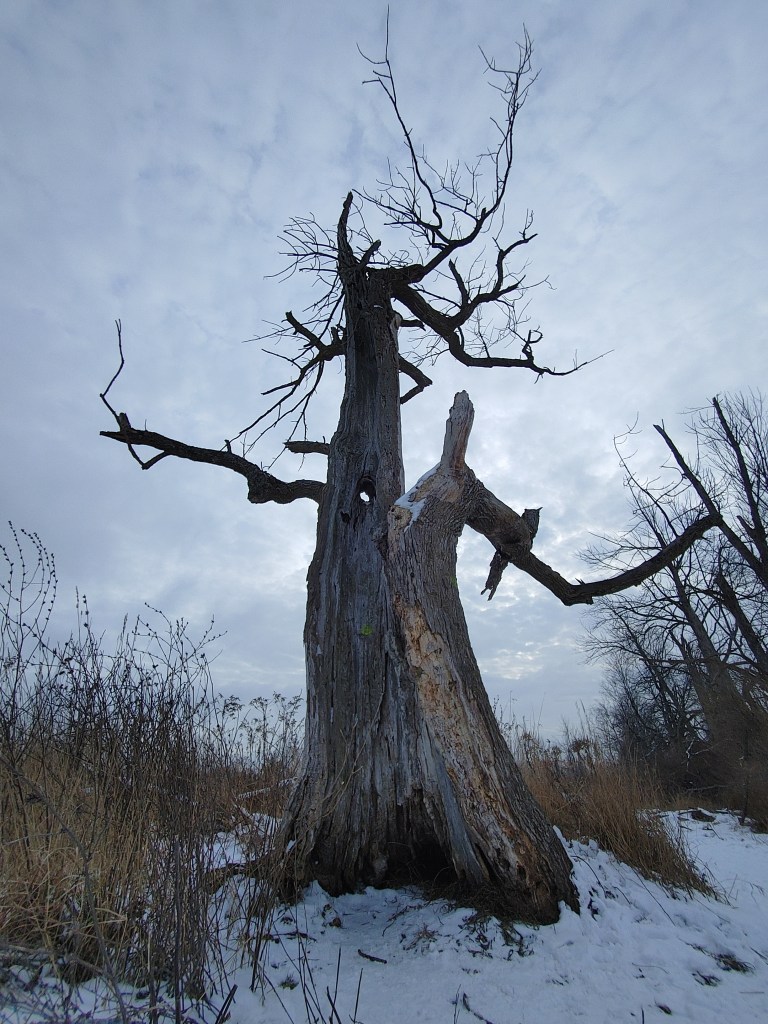
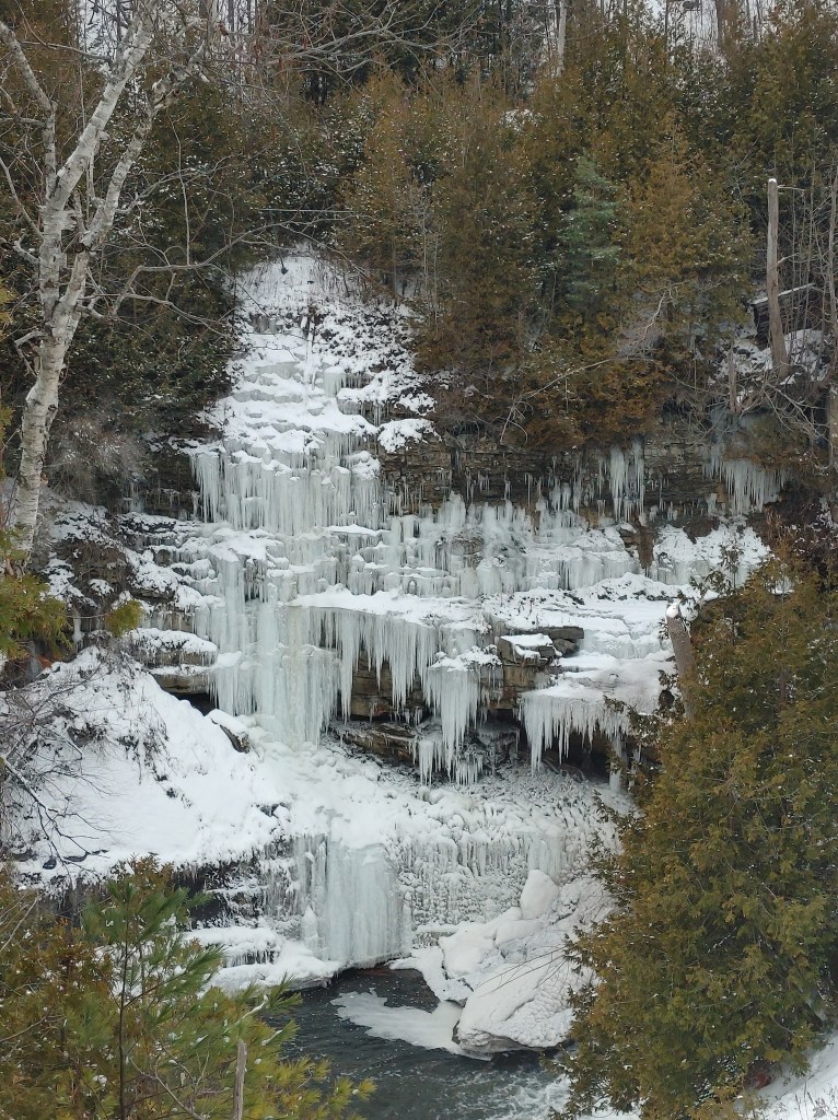
Forks of the Credit is a smaller, day-use only, provincial park located on the outskirts of Caledon that has a surprising amount of things to do. The Bruce Trail, Trans-Canada Trail, Dominion Trail as well as park specific trails such as the Meadow, Ruins and Kettle Lake trail all run throughout the park with many intersections so any hiker can mix and match their route as they’d like. The Credit River and railway run through the back end of the park, the river creating small waterfalls as it courses over the remains of an old hydro dam that was once a mill (Ruins Trail). The dam previously had created a lake called Cataract Lake, which I believe one of the trails loops around, but since the destruction of the dam, the lake has since drained.
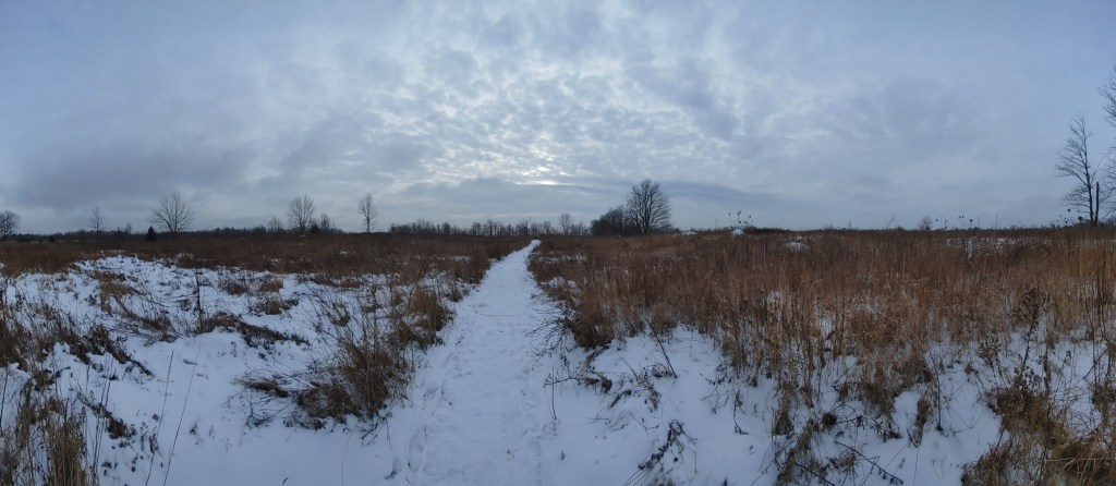
I started my hike through the park on the Meadow Trail that borders the Kettle Lake – formations left behind by the glaciers ~14,000ya, before moving into the forest deeper in the park. Kettle lakes are formed by huge chunks of ice left behind by retreating glaciers that are covered by sediment. As the ice beneath melts, it creates large depressions inlaid with sediment that slowly fill up with water via rain and/or are now apart of a larger stream network. Forks of the Credit only has one kettle lake, creatively named Kettle Lake but these formations can be found across Canada, especially in Northern Ontario at also the creatively named Kettle Lakes Provincial Park.
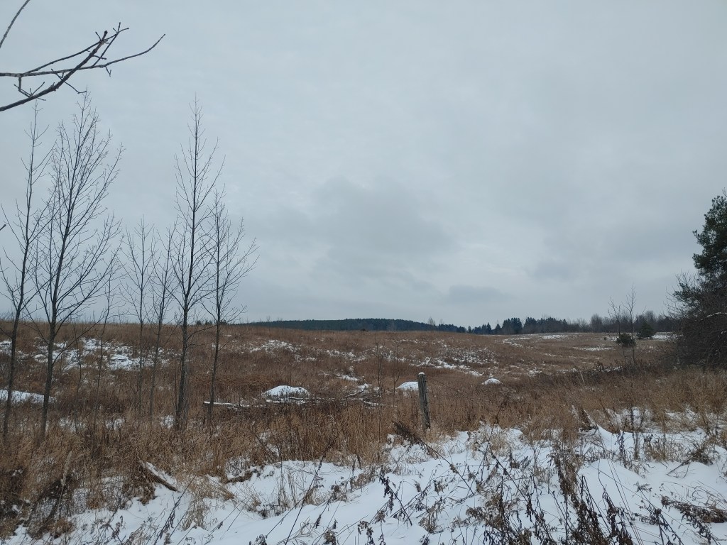
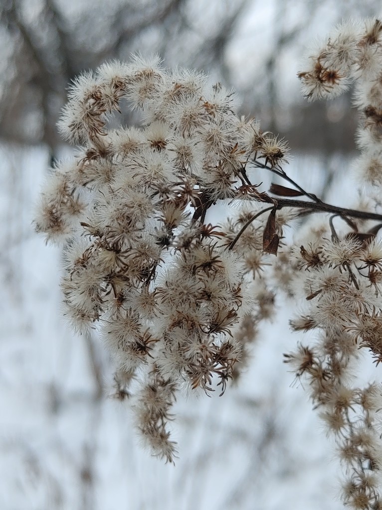
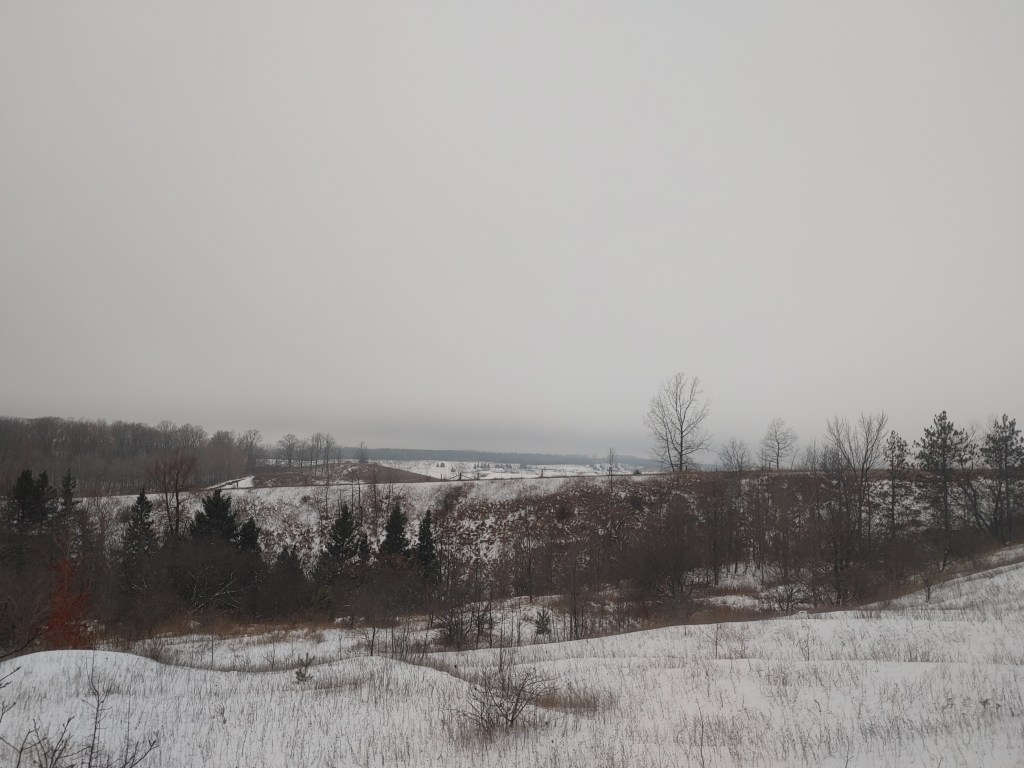
The Meadow Trail cuts through a large expanse of meadow and grassland that lies relatively dormant this time of year, but still shows signs of life of small paw prints and the occasional flutter of birds from the surrounding trees. Scattered throughout the gentle hills are odd snow mounds probably formed by the wind and accumulation of snow over time, but they definitely stick out amongst the dead grass and dusting of snow over the ground.
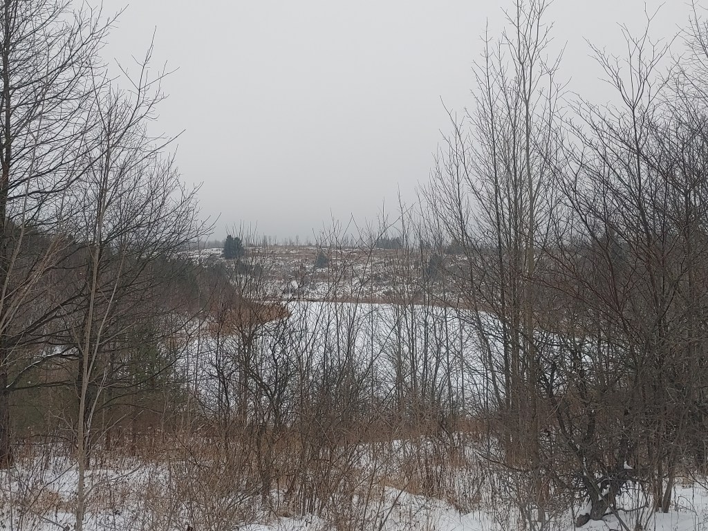
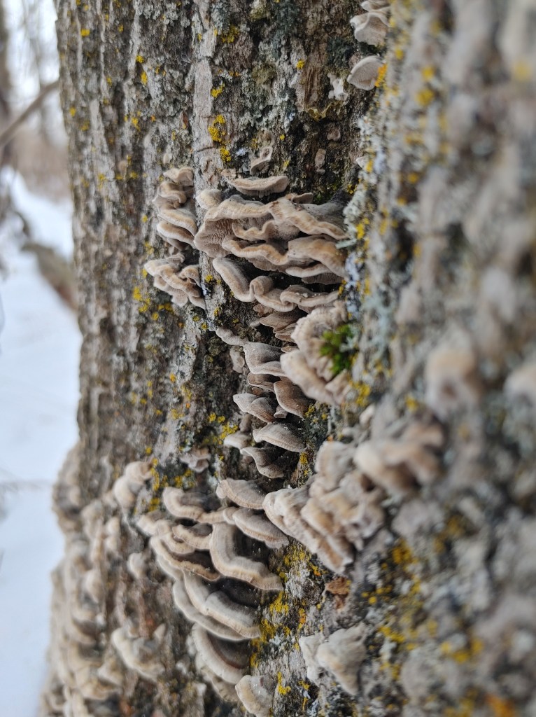
Eventually, the trail brings you into a forest of scattered cedars thickets, birches, and other deciduous trees that had all lost their leaves. There’d be segments of trail where you’d walk within the thick cedars and feel comforted by the sheltered they’d provide, but looking deeper into the thicket off trail felt a little ominous when you’re used to the bare visibility of the naked deciduous trees.
I did come to an intersection of the Meadow Trail and Bruce Trail with the waterfall viewpoint sign pointing down a steep descent on the Bruce Trail. There hadn’t been any fresh snow in a while, leaving the trail almost icy with how packed it had become from footsteps. My hiking boots left me slipping at some parts that were much less steep than the hill escarpment in front of me. Maybe next time I will bring the strap on ice cleats but for now, I politely ignored the sign marking the Meadow Trail that stated, ‘Side Trail Loop Closed Due to Safety Concerns’, or something like that because I ignored it, and kept going further down the Meadow Trail hoping I could catch a glimpse of the waterfall from the top of the escarpment.
I would later find out that the trail loop itself wasn’t really closed, but the reconnection of the Bruce Trail with the Meadow Trail further down at the waterfall viewpoint had been closed due to erosion of the safety features. And I totally did not ignore those signs as well.
Despite the numerous footprints of all types on the trail, I only passed maybe two groups of people in the 3 hours I was there. It was quiet, except for the wind and the rustle of the trees. Since Forks of the Credit is out of the way of major roadways, when you’re in the heart of the park, no cars can be heard. Despite the lack of exciting life, hiking in the winter has its perks if you like the silence or raw soundscape. I have been too ‘plugged in’ lately. I can’t even cook without wanting to put a show on just to occupy the room with me, even though I know I will get annoyed with myself of even needing to do that in the first place, yet I keep it on. Strangely though, as soon as I was in the quiet of the park, I didn’t feel that itch.
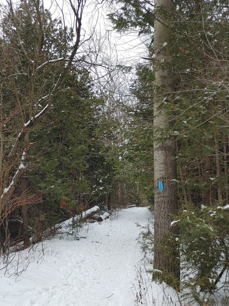
As I continued on the trail, I could hear what I thought was the static buzzing of running water but I couldn’t be sure. I ended up taking a short cut through the cedar bush following the shoe prints of people before me until I reached a long wooden staircase downwards, the sound of hopefully water and a waterfall getting louder with every step.

At the bottom of the staircase was a large wooden, hacked together wall wrapped with an assortment of orange plastic and bare metal wire fencing. There was no signage besides graffiti but I could assume this is what the sign I politely ignored had been talking about. This must be the end of the road…yet, there were footsteps, the same footsteps I had been following above behind the wall. How’d they get there?
Well, there was a wall blocking the trail yes, however, the slats between the stair steps show that there is space beneath it and at the bottom, the gap was definitely large enough for someone who was 5’1 to duck beneath. But I wouldn’t do that, that’d be trespassing.
From the sounds and direction of the water, it seemed like my waterfall view point was out of reach.

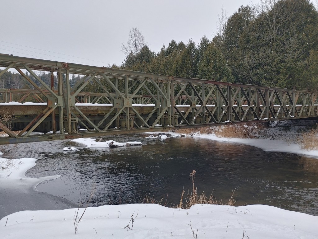
Further down the trail, away from my roadblock, is The Bailey Bridge, built by the Canadian 2nd Engineering Regiment in 1999 as a pedestrian footbridge to connect both ends of the Meadow Trail. I sat here and ate my clementine that I had received for Christmas while watching some ducks further downstream.
It was getting late, and by late I mean 4pm, when Canadian night in the wintertime starts to fall, so I continued my way around the loop and back onto the Trans Canada Trail to take me to the parking lot. The whole loop I hiked took roughly 6km and 3 hours for me to complete, however, I like to stop and take my time. I paid $20 after all.
I’d love to come back to see this park in the warmer months when everything is lush, green and alive. This park has a great mix of habitats from meadows and grasslands to mixed forests and the Credit River which is large enough to support recreational fishing. It is not too big, and it’s definitely easy to wander around most of the trails in a day if you don’t mind walking up and down hills smoothed over by the glaciers thousands of years ago (though you may need ice cleats in the winter). I am not sure how busy it gets in the on season, but in the off season, it is a hidden gem.
Since it is unstaffed, you buy a reservation online which sends you a barcode that lets you into the park. If you are an Ontario Parks sticker collector such as I, Forks of the Credit and nearby Mono Cliffs’ stickers can be purchased from the Earl Rowe campground office (or online through the Ontario Parks website).
I needed a trip like this to bring me back to reality, ground myself in the present. I am not one for New Years Resolutions, however, I have been wanting to implement a habit of trying to do one microadventure a week to spice things up and return to nature.
A ‘microadventure’ is a more recently created word that describes a short or simple, cheap, and local outing that is just as exciting and rewarding as going somewhere farther for more money. I think microadventures are great ways of getting to know your own backyard while saving money and really getting the most out of the place you may live. Of course, I do think having a term that essentially means ‘day trip’ as a new trendy buzzword is a little funny, but who cares really if it means I am getting out there and doing something fun. Plus, I have been needing something to write about on here because I love writing these posts as yeah not only am I going to these places, but I like to do a bit of research on them for my own benefit as well as whoever is interested enough to read.
Anyway, don’t hold me to it but I am going to try my best to have a microadventure weekly from here out, whether I write about it or not.
Happy Holidays and Have a Great New Year 🙂
EDIT:
I compiled all the video clips I took along the way into a video! You can watch it here:

Leave a comment